Your Shopping Cart is empty.


Download sample
File Details
Published: 2019-01-21 20:46:24.447390 Category: Travel Type: Illustration Model release: No
Share
       

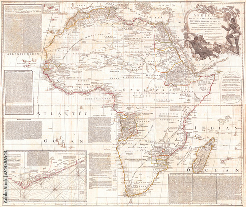
1794, Boulton and Anville Wall Map of Africa, most important 18th cntry Map of Africa

Contributor: PicturePast
ID : 244596543

TitleFilesize
Illustration5461x4583


Buy on Adobe Stock

Keywords
1794, topography, cartography, geography, land, illustration, geographic, travel, chart, grid, latitude, longitude, geometric, atlas, map, vintage, ancient, history, earth, paper, old, retro, earth, art, historical, decorative, navigation, aged, historic, journey, discovery, exploration, geographical, space, region