Your Shopping Cart is empty.


Download sample
File Details
Published: 2019-07-04 12:35:47.314709 Category: Graphic Resources Type: Illustration Model release: No
Share
       

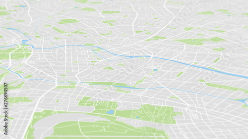
Aerial view City map Berlin, color detailed plan, urban grid in perspective

Contributor: max_776
ID : 276694507

TitleFilesize
Illustration8000x4500


Buy on Adobe Stock

Keywords
map, plan, berlin, city, street, aerial, view, german, europa, local, road, cartography, outline, top, urban, borough, pattern, spree, german, architecture, satellite, air, region, perspective, panorama, skyline, landscape, texture, transportation, coloured, travel, river, town, geography, abstract, design, vignetting, region, detail, avenue, metropolis, topography, center, navigation, tour, house, project, land