Your Shopping Cart is empty.


Download sample
File Details
Published: 2024-06-21 15:55:05.187007 Category: Science Type: Illustration Model release: No
Share
       

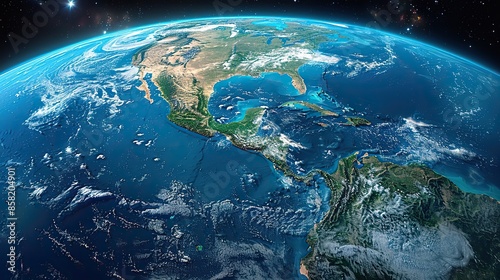
Satellite-generated map of Central America and the Caribbean, depicting topography with a 3D effect. illustration images

Contributor: Igal
ID : 858204901

TitleFilesize
Illustration8736x4896


Buy on Adobe Stock

Keywords
earth, topography, central america, caribbean, satellite, illustration, planet, three-dimensional, flattened, element, geography, earth, global, altitude, coastline, mountain, vale, ocean, lake, vegetation, globe, space, map, blue, night, sphere, sun, sea, ocean, universe, light, atmosphere, continent, america, europa, black, cloud, star, sunrise